
TSPS Category 1A · Registered Professional Land Surveyor
Elevation Certificate
The FEMA-required document that determines your flood insurance rate – and may save you hundreds of dollars a year.
Licensed in Texas · Same-week Field Visits · Sign & Sealed by RPLS · Serving DFW & North Texas
What Is an Elevation Certificate?
An elevation certificate is an official FEMA form — completed and stamped by a licensed surveyor — that documents the elevation of your building relative to the Base Flood Elevation (BFE) established in your flood zone.
In plain terms: it tells your insurance company how high your lowest floor sits compared to the level where flood damage is expected to begin. If your structure sits above the BFE, your flood insurance premiums drop. If it sits below, the certificate explains exactly by how much — and gives you documented grounds to appeal an inaccurate flood zone classification through a process called a LOMA (Letter of Map Amendment).
Only a licensed land surveyor or professional engineer can complete an elevation certificate. The document is accepted by all NFIP-participating insurers and by FEMA itself for zone appeals.
What’s Included?
FEMA Form Completion
All sections of the current FEMA Elevation Certificate form (EC), filled to NFIP standards and ready for your insurer.
GPS + Total Station Survey
Field measurements referenced to the NAVD 88 vertical datum used by FEMA — sub-inch accuracy, checked and closed.
FIRM Map Identification
Flood Insurance Rate Map panel number, flood zone designation, and Base Flood Elevation at your specific parcel.
Signed & Sealed by R.P.L.S
Stamped by a Texas Registered Professional Land Surveyor — the only credential FEMA and your insurer will accept.
Why You Need an Elevation Certificate
Flood insurance premiums are calculated using a risk formula that compares your lowest floor to the Base Flood Elevation in your zone. Without an elevation certificate, your insurer defaults to the worst-case assumed elevation for your flood zone — which is almost always higher risk than your actual structure, and therefore more expensive.
A certified elevation certificate gives your insurer the documented proof it needs to rate your policy based on actual conditions. For properties that sit above the BFE, that difference can reduce your annual flood insurance premium by hundreds or even thousands of dollars.
An elevation certificate also opens the door to a LOMA — a FEMA process that can reclassify your property out of a high-risk flood zone entirely. If the certificate shows your land is naturally above the BFE, DMC Henry Surveying can prepare the LOMA application alongside the certificate, potentially eliminating your mandatory flood insurance requirement.
Buying or refinancing a home in a Special Flood Hazard Area (SFHA)? Your lender will require flood insurance. Getting a current elevation certificate before closing gives you the best available rate rather than the insurer’s default assumption.
How Much Does an Elevation Certificate Cost?
Elevation certificate costs vary by property — a straightforward residential lot in a mapped flood zone is less involved than a larger commercial parcel or a property with complex topography and multiple structures.
Several factors affect the quote:
- Property Type: Residential lots are typically the most straightforward. Commercial buildings, multi-structure properties, and condominiums require a broader scope of field work and additional form sections.
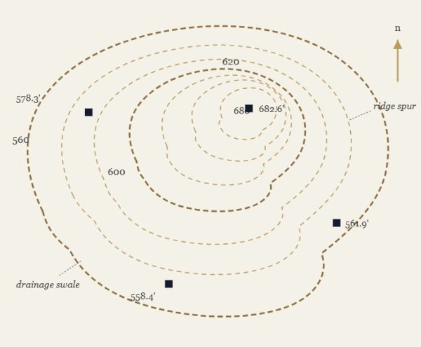
- Site Complexity: Wooded lots, steep terrain, hard-to-access crawl spaces, and properties with finished basements all add field time. A clear, open residential lot is quicker to measure than a large rural tract with dense vegetation.
- Flood Zone Designation: Zone AE properties have a published Base Flood Elevation, which simplifies the comparison. Zone A parcels have no published BFE — the surveyor must determine it independently, which adds time and cost.
- LOMA Filing: If your property is a candidate for a Letter of Map Amendment — meaning your land sits naturally above the BFE — we can prepare the FEMA application alongside the certificate. That is a separate service with its own fee.
When Do You Need an Elevation Certificate?
- Buying or Selling a Home in a Flood Zone: If the home is in a flood zone, your lender will require flood insurance. A certificate shows your actual risk level so you pay a fair rate — not the worst-case price insurers charge without one.
- Your Flood Insurance Premium Has Increased: Without a certificate, your insurer guesses your risk. If your home sits above the flood level, a certificate can lower your premium — sometimes enough to pay for itself in the first year.
- Applying for a LOMA (Letter of Map Amendment): Think your property was put in the wrong flood zone? A LOMA asks FEMA to fix that. An elevation certificate is the required first step to file one.
- New Construction or Addition in a Flood Zone: Most cities in DFW and North Texas require a certificate before and after building in a flood zone. You’ll need it to get your Certificate of Occupancy.
- Your Existing Certificate Is Outdated: FEMA updates flood maps over time. If the maps in your area have changed, or if your home has been renovated, your old certificate may no longer be accepted.
Ready to Get You Elevation Certificate?
DMC Henry Surveying provides FEMA-compliant elevation certificates for residential and commercial properties throughout DFW, North Texas, and East Texas. Call us or send a message — we’ll give you a quote before any work begins.
Areas We Serve
From Sulphur Springs to Dallas-Fort Worth, we handle topographic surveys across North and East Texas — including Greenville, Farmersville, Midlothian, Weatherford, and dozens of communities in between. Don’t see your city listed? Give us a call — there’s a good chance we already work in your area.
- Sulphur Springs, TX
- Mt. Pleasant, TX
- Hagansport, TX
- Greenville, TX
- Caddo Mills, TX
- Farmersville, TX
- Princeton, TX
- Royse City, TX
- Melissa, TX
- Anna, TX
- Van Alstyne, TX
- Dallas-Fort Worth, TX
- Midlothian, TX
- Ennis, TX
- Weatherford, TX
- Cleburne, TX
- Waxahachie, TX
- Terrell, TX
- Forney, TX
- Kaufman, TX
- Rockwall, TX
- Denton, TX